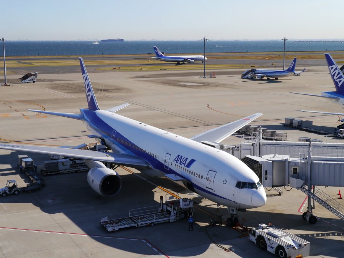
You might think that the two fields have nothing in common with one being an insignificant part of the other, but to my amazement and experience, both fields have a lot of linkages and practices to learn and adopt from one another.
Overview and the comparisons being drawn
Urban Planning, or more specifically, spatial planning, deals with two-dimensional spaces and activities on the ground, whereas aviation with an added dimension involves utilizing the airspace above the ground. While urban planners work to maximize the use of land resources by formulating plans and regulating the “development”, aviation is all about utilizing the airspace in the most efficient manner. In simplest terms, both sectors deal with efficient utilization of spaces. The utilization in one sector is about all the activities and the future planning of land use in mind, while aviation is about the transport aspect and its own future planning of air traffic above the ground. The efficient use of available resources for sustainable growth can be considered as a need the need of the hour for both sectors. The way both industries function remains very different. There are a few fundamental aspects which are very well worked out in aviation. The difference can be attributed to the limited focus area. However, things get complicated once we look into details. Urban planning, being a multi-disciplinary field, has its unique set of problems, but aviation, not being equally multi-disciplinary, has its own unique requirements while making it dependent on a lot of other aspects. Thus, one being multi-disciplinary and the other being dependent, has a lot to teach and learn.
Scarcity of (usable) space even with an added dimension!
Optimal utilization of space remains the focus area in both fields. Both the fields are always struggling with the space crunch, which might be a bit confusing as you may have come across vast parcels of land in both cases which are undeveloped. This sight is often common while commuting by train or aircraft. You will see an endless portion of the earth which is undeveloped, however the real estate prices keep on hitting new highs. At the same time, you notice the endless sky, which gives the impression that the airspace is endless, however this is not true. The “usable” airspace still remains very restricted and while the human eye is looking at the endless open sky, we are often limited by height restrictions at which passenger aircraft operate (usually below 50,000 ft above mean sea level). While the land and sky are limitless, it’s the “usable” part which is scarce. Serviced land requires heavy investment, similarly, making airspace usable and accessible has its own set of challenges.

Aerial View, Credits: Image by Rudy and Peter Skitterians from Pixabay
What you see below is not ideal condition for commercial transport. No matter how adventurous you are, you will still prefer your aircraft to be far away from other aircraft to ensure safety. Commercial aircraft do not fly anywhere near to others. They are separated both horizontally and vertically as safety is of the utmost importance.

Formation Flight, Credits: Image by Steve Bidmead from Pixabay

Slum Development in Urban Area, Credits: Image by A MH from Pixabay
The image above reflects the condition which is not an ideal situation in Urban Planning. Slums reflect the lack of planning or the failure of planning process. Slums puts s it puts pressure on land resources as the demand for various resources were not calculated and adjusted to the requirements of the planned area.
The Functional Challenges & Similarities
Both the sectors need a high level of sophistication and need to make use of the best available resources. The best possible coordination and data sharing is crucial.
Coordination & dependency: While each industry requires coordination, planning & aviation require a much higher level of coordination. Irrespective of the scale of work (layout plan, master plan, regional plan, economic plan) the data requirements are huge in planning. On the other hand, aviation requires both static and real time data, such as information about airports and weather reports. Both the fields cut across various other markets, such as real estate, technology, business administration, environment etc. and thus, require a greater level of coordination with inherent dependencies. This problem of working and coordinating with different sectors is often met with additional bureaucratic and administrative challenges.
Data collection and availability: The fundamental data requirements in both fields have a lot of similarities in a broader sense as they involve demographic data, policy documents, environmental data, weather, land prices and land requirements. However, how that data is used differs. The data requirements in planning are largely dependent on secondary data collection. Plans being prepared get most of the required information by indirect means and are thus at the mercy of other departments. This is unfortunate, but true in most parts of the world. However, the required data is not readily accessible and or it might simply not exist. In such cases, the associated cost of data collection and generation is huge, and the process is cumbersome. Absence of data can stall the project and have a detrimental impact on the overall functioning. The difference remains in terms of details and use of collected data. Urban planning will look at the data as a whole and, from a larger perspective, however aviation requires a more business-oriented approach, thus identifying the potential customers. Also, aviation data requirements are very specific, such as the availability and lengths of runways, weather data like wind velocity, mean direction, turbulence, types and location of clouds, routes with bad weather, distance between origin and destinations, fuel requirements and availability, access to medical and emergency facilities, real-time information about other traffic etc. Without having sufficient data, it is impossible for an aircraft to take-off.
Data quality and freshness: Very few dedicated data collection agencies exist. The data thus gets updated at the discretion of “other” fields for which data was originally collected. This results in delay or highly unreliable data for planning purposes. But this remains to be the only option available, searching for the best out of trash in some cases. The frequency of updating this data differs widely from days, weeks, months, years and even a decade in some cases. To list some examples, traffic volume count data is collected several times a month/year depending on the need and place. This collection is relatively easy and less tedious. But census data is updated at an interval of 5 years in some countries, in 10 years in most countries and even more in some cases. This very basic demographic information is too often outdated if used as it is without care. The accuracy of the data obtained remains highly questionable as well.
In the case of Aviation no delay can take place in obtaining the crucial operational data. Most of the data collection is done beforehand, i.e., before the departure of a flight. Thus, for successful and uninterrupted operations, data needs to be collected and disseminated in almost real-time. This collection and sharing is done within and outside the geographical boundaries of a region. Some data is updated periodically and needs to be checked before the start of flights. In case of any unexpected or sudden change notices, there exists a system of “NOTAMs” which are checked before every flight. This ensures the highest level of safety and awareness about the complete work. The collection and distribution of data also needs to be free from errors and negligible errors are acceptable. The cost of this data acquisition is high because of the high accuracy level and the responsibility of the data provider.

Weather, Rain at airport, Credits: Image by ionutscripcaru from Pixabay
Land and Property Prices: Urban Planning and aviation are both well known for creating disturbances in real estate. While aviation is a subset of the larger plans under urban planning, it remains one of the most influential factors in determining land prices. The different land use allocated by urban planners changes the value of land and thus consequential development. While the location of airports is strategically decided because of the need to have good accessibility and the future growth around the airports. This, too, has a direct impact on the land value.
Administration, Bureaucracy & Umbrella Body
Bureaucracy and administration: Depending on the scope (geographical) of work, there are new challenges as multiple governmental agencies, cultural differences, rules and regulations come into play. Each aspect needs to be carefully reviewed and complied with. For Urban Planning, this is true when dealing with different regions, while for aviation, this is more important when operating internationally.
National & International governing bodies: For all the industries and professions to function, there is a need to have an umbrella body which is entitled to authority and power. They act as the representatives, form rules and work for the welfare of their members. No true international umbrella body exists for urban planning. The standards adopted and functions performed vary from country to country and even within a country. A person wanting to work in a new place is required to get familiar with the system being followed by actually working and learning the practice being followed. No international body exists to unify the practices. However, in some countries there are governing bodies which work at different level, but their success varies largely. Some founding and old bodies include the American Planning Association (APA), Royal Town Planning Institute (RTPI), Indian Institute of Town Planners (ITPI), Nigerian Institute of Town Planners (NITP) etc. All of these governing bodies enjoy different rights where they work. ISOCARP, Commonwealth Association of Planners, can be considered as a pseudo international organization but on looking at the work and influence, it fails to fulfil the criteria required to qualify itself as a true international umbrella body.
The International Civil Aviation Organization (ICAO) is the apex umbrella body for civil aviation. It is a UN specialized agency, established by the States in 1944 to manage the administration and governance of the Convention on International Civil Aviation (Chicago Convention). The rules framed by ICAO are binding for all members, although there exists the provision to adopt rules complete or partially, but in the case of partial adoption, the change from international practice needs to be informed so that all the countries have complete information about the standards and procedures being followed in other countries. Apart from a single governing body, all countries have their own organisations and concerned authorities dealing with civil aviation. Unlike planning, It’s mandatory to have a competent authority which will represent the country in conventions of ICAO and pass on the required information from time to time. These include the Federal Aviation Administration (FAA), Ghana Civil Aviation Authority, Director General of Civil Aviation etc. These further have their subdivisions and coordinate among a number of other bodies to make sure all the civil aviation operations go smoothly.
The need to work in a time- bound manner & actions taken and rules in place
Problem identification & solving: Urban planning often suffers from the lack of standards and reference that makes it unrealistic to call the outcome undesired. Unless a proper assessment is possible, it makes no sense to identify the person or agency responsible for it. The acceptable level of errors and overall margin are absent in most of the cases. This further gets complicated as the outcome is visible only after a few years and planning itself is prone to drastic changes due to external factors. So, it remains a major setback for problem identification & solving.
In Aviation, there are well-defined rules about what is to be reported to whom. Reporting to competent authority in a time — bound manner is compulsory. A well-defined classification of reportable incidents exists which ensures clarity on what needs to be reported and the whole process for the same. The concerned agency, on receiving the information, carries out its work and takes appropriate action. There is a marginal scope of own judgement as the rules are well-defined, which enables timely outcome of any reported incident.
Rules & framework: Urban planning is dominated by “Guidelines” instead of “Acts” and rules. Number of overlapping functions, conflicts in administrative work and boundaries, lack of penalties. No well-defined standards or complete lack of standards makes assessment next to impossible. Further, because of the involvement of dozens of authorities, it is difficult to find out the actual person/department who is responsible for the loss. Even if the concerned person is found out, then the overlapping functions or the lack of clear procedure of what to do next will be at the disposal of the competent authority as per their own judgement of the situation. Due to such an open-ended process and the absence of clear rules, people become victims of wrong or ill-defined processes and part of experimentation.

Basic Framework & Steps, Credits: Image by Gerd Altmann from Pixabay
Feedback Mechanism & mitigation strategies:Both the sectors have provision of corrections or adjustments as per their own feedback mechanism. This allows to cater for unforeseen circumstances and in cases when it is evident that the desired result is not achievable or continuing the ongoing work will have negative or catastrophic results. Theoretically speaking, in planning, feedback and monitoring was added to the planning process under the rational planning model. This provided some flexibility to the otherwise rigid planning process whose outcomes were visible only after things went wrong at the end. These outcomes were at times disastrous as millions of people by this time would have suffered because of faulty planning. With the advancement and adoption of technology, this improved and timely correction were possible and emphasized.
Like any industry, aviation, too, is prone to errors and mistakes. This can be because of both human error and technical glitches. Both types are quite unpredictable, but having a mechanism in place to minimize the damage remains to be of the utmost importance. Safety in aviation is given the utmost priority at every stage, unlike planning. It starts from the stringent manufacturing standards of aircraft to multiple operational aspects. Still, in case things go wrong, all the concerned people and agencies swiftly take action as per a predefined process.
Having a clear and well-defined structure is essential for any task which requires input from multiple sources. Avoiding overlapping functions and identification of gaps is of the utmost importance in efficient working. Accountability for delays and wrong information needs to be taken seriously to ensure quality work. Having standards and fixing procedures helps in ensuring that minimalist deviations occur from the set rules. This is what makes Aviation a rapidly growing sector.
Way forward
Though you might find that some points being highlighted remain common to every industry, the underlying idea is to provide a basic start for the budding planners & professionals to connect & relate. Various aviation and urban planning terminologies have been avoided for ease of understanding. To cover details, industry needs to be divided into parts/ focus areas so that required comparisons can be drawn. These include information about carbon emissions since aviation is one of the biggest contributors to GHGs, goals being set by aircraft manufacturers to reduce their carbon footprints, making more airspace available as the available airspace for commercial aviation is restricted by the air force due to various safety and security reasons which results in longer routes, fuel being used and the possibility of turning to hydrogen or organic fuel. Additional aspects are the navigational aspects which make use of GPS, GIS aided maps and location augmentation, terrain model as per WGS 84. Brief information about the various agencies involved in aviation, which are the reliable and authentic place to gather data for research.
Feel free to reach out if you have any queries or suggestions, until the next flight — Your planner & pilot, Shubham!


